Hello, everyone. I'm RGW.
Recently I've had some problems reconstructing a surface using points.
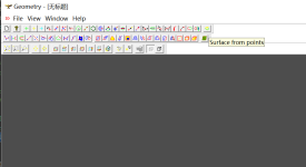
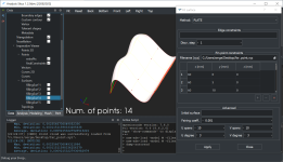
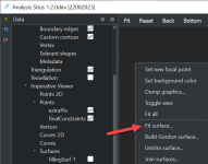
I am using the sample/mfc/Geometry in the opencascade folder for testing.
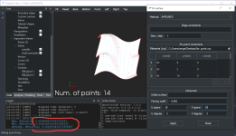
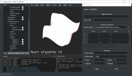
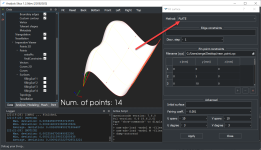
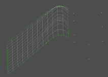
The test results are shown in the figure below. When my point set is close to the origin, the result is better, but when my point set coordinates are far away from the origin, the result is not very good. Why?
Thanks in advance!
My point set txt file is attached with the question.
near result (good):
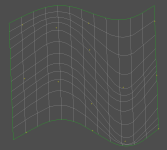
far result (bad):
Recently I've had some problems reconstructing a surface using points.
I am using the sample/mfc/Geometry in the opencascade folder for testing.
The test results are shown in the figure below. When my point set is close to the origin, the result is better, but when my point set coordinates are far away from the origin, the result is not very good. Why?
Thanks in advance!
My point set txt file is attached with the question.
near result (good):

far result (bad):


